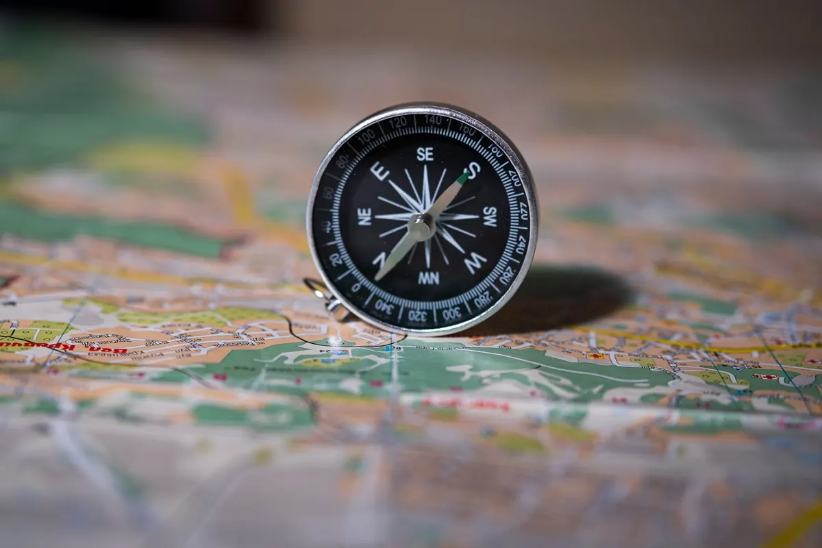
The compass rarely fails. Neither does the map. What fails is the short translation between them — the moment a printed bearing becomes a direction in the real world. Get that translation slightly wrong and the error compounds quietly: a path that drifts a little too far left, a ridge crossed sooner than expected, a summit that never appears above the trees. The habits below are the ones that most often pull walkers off course, and each has a fix that takes less than a minute to apply. Better to read them the night before a hill day than to work them out at dusk.
Leaving the Declination Adjustment Until Later
Declination is the angle between grid north on the paper and magnetic north under your feet. It is printed in the margin of every decent topographic map, it varies from region to region, and it shifts slowly over the years. Two things go wrong. Some people carry a number from a different area or an old map. More often, people know the right number but do the arithmetic while walking uphill in wind, and never check it.
The conversion rule is short: east is least, west is best. With 4° of east declination, a map bearing of 90° becomes a magnetic bearing of 86°. With 4° west, it becomes 94°.
The fix is to move the arithmetic off the hill. If your compass has a declination adjustment, set it at home and check it before every trip — a friend borrowing your compass and turning the screw is a surprisingly common cause of error. If it doesn't, draw a couple of magnetic north arrows in pencil in the map margin and orient the map with those. Take bearings in the field and convert them at the map, where your hands are free and the numbers are in front of you.
Reading the Map as a Picture Instead of a Description
If the map only comes out when the path vanishes, it gets read in a hurry, and that is when shapes are misread. A re-entrant taken for a spur. A crag symbol taken for a small cliff when it marks a scatter of boulders. A broad shoulder taken for the summit.
Contours cause most of this. The V of a contour points uphill where a stream cuts in, and downhill where a spur pushes out. On paper the distinction is clear; on the ground, walking up in cloud with a pack on, the spur feels like the sensible way and the re-entrant looks like a gully to avoid.
Before you set off on a leg, describe it in words rather than shapes: "We cross a stream, climb onto a broad spur, follow it for about 400 metres, then drop left into the valley." Three named features are enough. Keep the scale in mind too — at 1:25,000, one centimetre on the paper is 250 metres of walking, so a shapely-looking ridge can be a two-hour detour.
Walking a Bearing With Nothing to Stop You
The classic error is to take a bearing to a loch, a summit or a bridge and then walk it as if on rails. In clear weather it works. Across open moorland in mist, aim drifts by a few degrees and the target slips past. Three degrees over two kilometres puts you around a hundred metres off — plenty to miss a footbridge.
Give yourself something to catch the error:
- Aim off. Deliberately head a few degrees to one side of the target, so that when you reach the feature you know which way to turn.
- Use a handrail. A stream, fence line, forest edge or ridge that runs toward the target keeps you honest without constant checking.
- Name a catching feature. Something beyond the target — a road, a large river, a wall — that stops a small miss from becoming a long one.
- Pick an attack point. A big, unmissable feature 200 metres from the target, from which you take one short, precise bearing.
Trusting Your Eye Instead of Your Feet
Distances look tidy on paper and feel nothing like it on the ground. Uphill, through heather, or in a chatty group, a kilometre that measures 1,000 metres can feel like two. Guessing by time alone fails for the same reason.
Pacing is dull and it works. Set it up once:
- Measure 100 metres on flat ground with a tape or a marked track, and walk it twice.
- Count every double pace — each time your left foot lands — and average the two counts.
- Repeat on rough ground and on a slope; uphill counts run shorter, so keep a separate figure for climbing.
- Convert each leg before you move: 700 metres at 62 double paces per 100 metres is about 434.
- Count in hundreds with a tally — beads on a cord, a knotted string, or a stone moved between pockets every 100 metres.
- Say the number out loud when you hand over the lead, so the count continues rather than restarts.
Timing still earns a place as a cross-check. A rough four kilometres an hour on paths, plus an hour for every 600 metres of ascent, is enough to tell you that you should have reached the col by now.
Nobody Owns the Map in a Group
Group navigation fails gently. Someone takes a bearing, someone else reads the map, a third says they remember this bit from last year, and the group moves on without anyone holding the whole picture. Twenty minutes later the conversation stops and everyone is looking at a junction that isn't on the map.
Fix it by naming a navigator, and by making every stop a checkpoint. At the gate, the stream crossing, the lunch rock: say out loud what should come next. "We should hit a fence corner in about ten minutes, then the path bends left." If it doesn't appear, everyone knows while a correction is still a short walk rather than an afternoon. Swap the map every hour or so; tired navigators make confident mistakes, and the skill fades in anyone who never practises it.
A One-Minute Check Before You Move Off
At the car park, the hut or the first junction, run through the same five questions before the boots start moving:
- Is the declination set on the compass, or written in the margin?
- Can I point to where I am and name the feature I'm standing on?
- Can I describe the next leg in three features?
- Do I know the distance in paces, not just in centimetres?
- What will catch me if I drift — and where does the bearing change?
None of it takes long. Take the pack off, hold the map and the ground in the same view, and answer them properly. Good navigation is not about never being wrong. It is about noticing early, while the correction is still a few minutes of walking and the day is still going your way.
Photo: Tima Miroshnichenko / Pexels