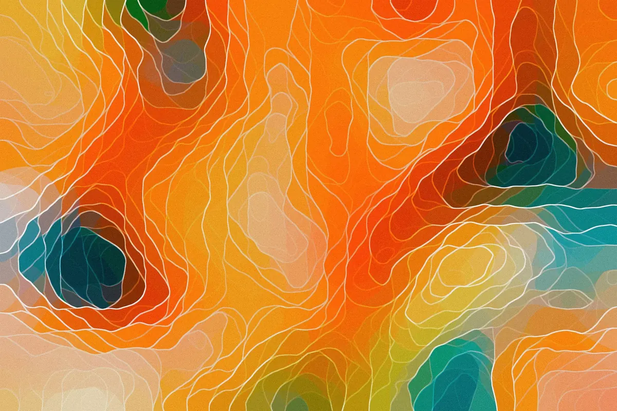
A topographic map looks like someone spilled brown thread on a page until one rule clicks: every one of those brown lines sits at the same height above sea level. After that, the squiggles stop being decoration. They start describing the ground you are about to walk on — where the ridge runs, where the hillside steepens, where the stream in the valley will be.
Reading a map well is not about memorising symbols. It is about asking the sheet a few specific questions: how steep is this slope, how far is that summit, what sits between me and it. Here is how to answer them.
Every Brown Line Is a Height
A contour line joins points of equal elevation. Walk along one with an altimeter and your altitude stays put; step across one and you have climbed or dropped by a fixed amount. That fixed amount is the contour interval, and every map states it in the legend or along the margin. You will meet 5, 10, 20 or 40 metres depending on the map and the terrain. Every fifth line is normally drawn thicker and labelled with its height. These are index contours, and they are the anchors that stop you losing count on a busy hillside.
The interval turns lines into arithmetic. On a map with a 10-metre interval, four lines between the path and the shoulder of the hill means roughly 40 metres of climbing. Crossing a single line means a rise so small you may not notice it underfoot.
Two rules hold almost everywhere. Contours never cross, because no point of ground has two heights, and they never split. Where lines bunch so tightly they look like one thick stroke, the ground is a cliff or crag, and the map usually backs that up with a rock symbol or hachures. A closed loop with short ticks on the inside is a depression — the ticks point downhill, into the hollow.
Spacing and Shape: Reading the Ground
Line spacing is the map's way of showing gradient. Widely spaced contours mean gentle ground you can cross quickly. Tightly packed contours mean a stiff pull. Evenly spaced lines in a long parallel run describe a uniform slope, often the most efficient place to gain height steadily rather than in short bursts.
Watch for the moment the spacing relaxes after a steep section. That is a bench or plateau, and it is worth noting for a lunch stop or a pitch. Flat ground on a hillside is rarer than it looks from below.
Where water and paths go
The most useful shape on any map is the V. Where a contour crosses a valley, it bends upstream into a V whose point aims at higher ground. That tells you there is drainage in the valley floor, and it tells you which way the water runs: away from the point, downhill.
On a spur, contours bulge out and down from the hillside, like a finger pointing into the valley. Spurs are where you find views, where paths often run because the ground drains, and where a careless step off the side costs you the most height.
Six features worth recognising
- Knoll or summit: the smallest closed loop on the hill, often with a spot height printed beside it.
- Saddle or col: two closed loops facing each other with a dip between them. It marks the lowest crossing between two tops, and paths tend to use it.
- Spur: a contour bulging downhill; a shoulder with views and usually decent footing.
- Re-entrant or gully: a contour bulging uphill into the hillside. Often damp, often steep, and frequently the start of a stream.
- Depression: a closed loop with inward ticks; a hollow where water collects and visibility is poor.
- Cliff or scree: contours jammed together, sometimes with a rock or scree symbol. Do not assume you can walk through it.
Scale: Turning Centimetres into Hours
Scale appears as a ratio. On a 1:25,000 map, one unit on paper equals 25,000 of the same unit on the ground — in metric, 1 cm covers 250 metres, so 4 cm is a kilometre. A 1:50,000 map halves that detail: 1 cm is 500 metres, 2 cm to the kilometre. In the United States you will meet 1:24,000, where an inch represents 2,000 feet.
The larger the second number, the more ground is squeezed onto the sheet and the less detail survives. A 1:50,000 map suits a long ridge walk or a bike route. A 1:25,000 map is what you want when the day depends on which of two paths leaves the col.
Measure with the edge of a piece of paper or a length of string, marking each bend as you trace the route, then lay it against the scale bar. A straight-line measurement across a switchback path will be badly short — sometimes by half.
For time, walkers use a rough rule: roughly 4 to 5 km per hour on easy ground, plus about an hour for every 300 metres of ascent. Treat it as a starting point, not a promise. Add time for a heavy pack, loose rock, heat, and a group with mixed pace.
The Legend Does the Translating
Symbols are not universal. A dashed line might be a good path on one sheet and a vague, easily lost track on another; a blue line may be a stream that runs all year or one that dries in August. Read the legend printed on the map in your hands, not the one you remember from a map last year in another country.
Five things are worth checking before you trust a route:
- How paths are graded — solid for a track, broken for a footpath, dotted for something indistinct.
- Water: springs, intermittent streams, marsh symbols, which mean slow, wet going.
- Ground underfoot: scree, boulders, sand, dense forest.
- Barriers: walls, fences, unbridged rivers, cliffs.
- Useful features: huts, shelters, buildings, and any access notes in the margin.
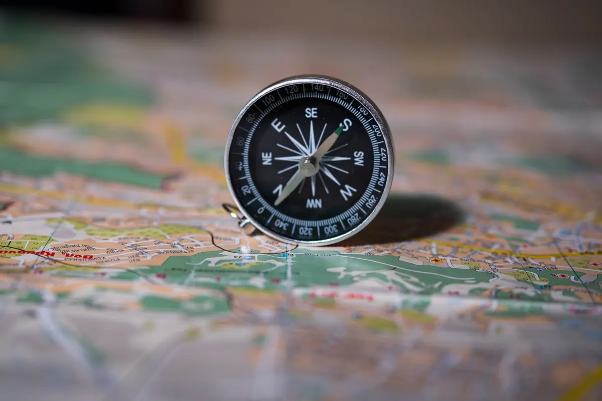
While you are in the margin, find the north arrows. Grid north and magnetic north are rarely identical, which matters the moment you take a bearing with a compass.
A Ten-Minute Check Before You Walk
Do this at the kitchen table, not at the trailhead with the wind up.
- Read the contour interval and the map's edition date. Old maps show old paths.
- Find the legend and confirm how a footpath is drawn on this specific sheet.
- Trace the route with a finger, counting contours to the high point of the
Photo: kdadan. / Pexels